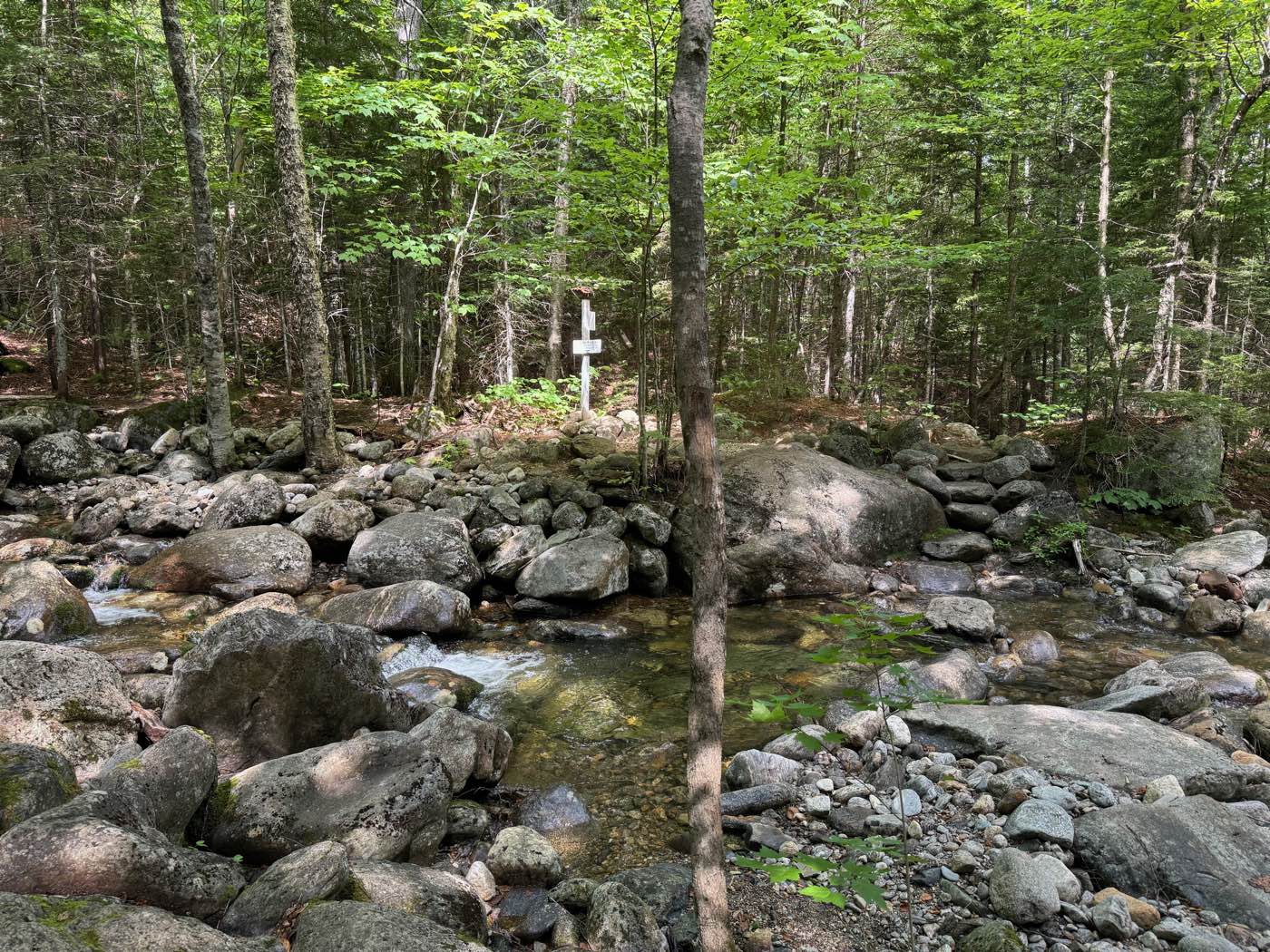
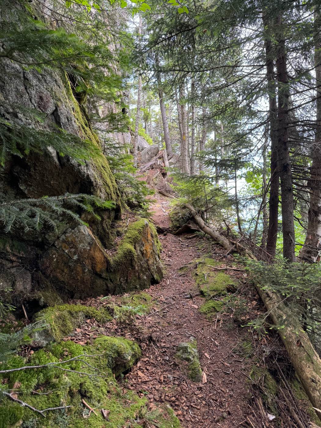
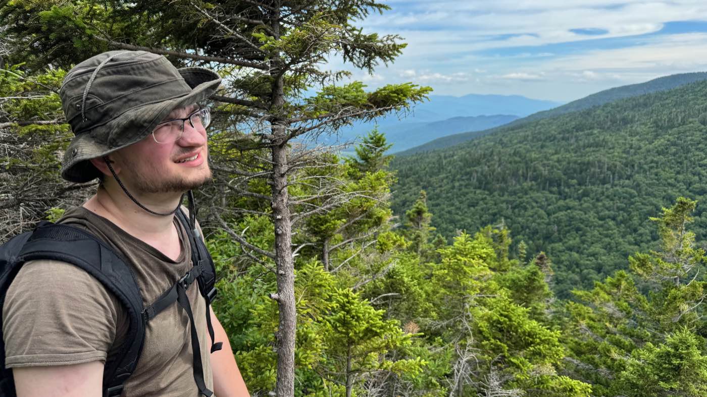
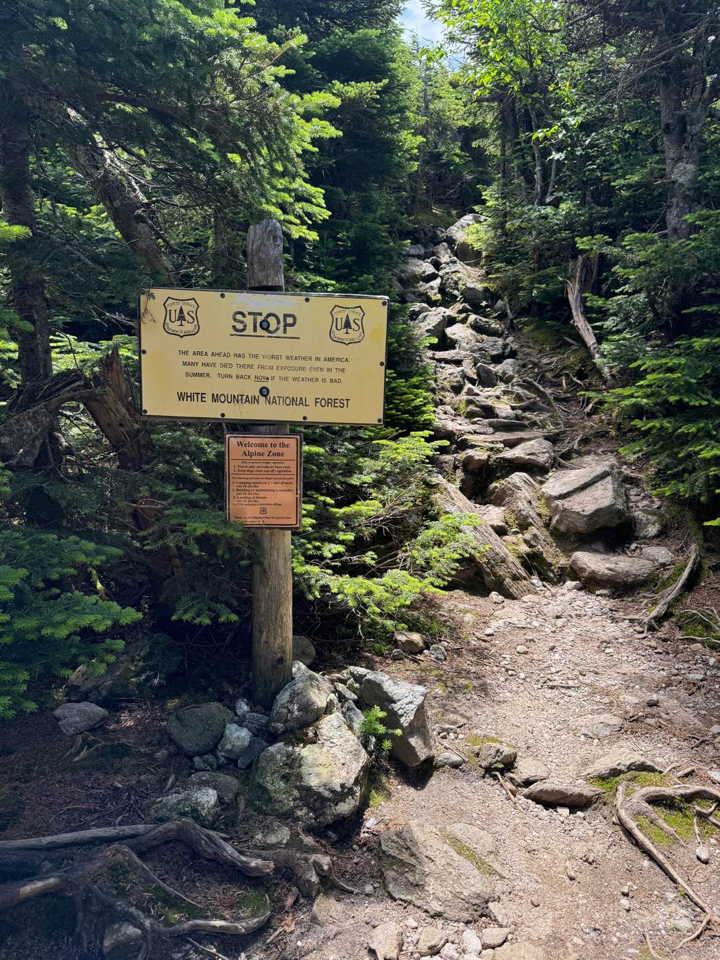
Everything else on this site is borrowed from photographers, libraries, and government archives. These are mine, from hikes with my sons and on my own.
Times and elevations come from my phone's GPS. Click any photo to see it larger.
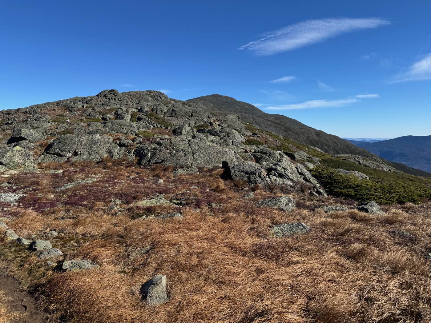
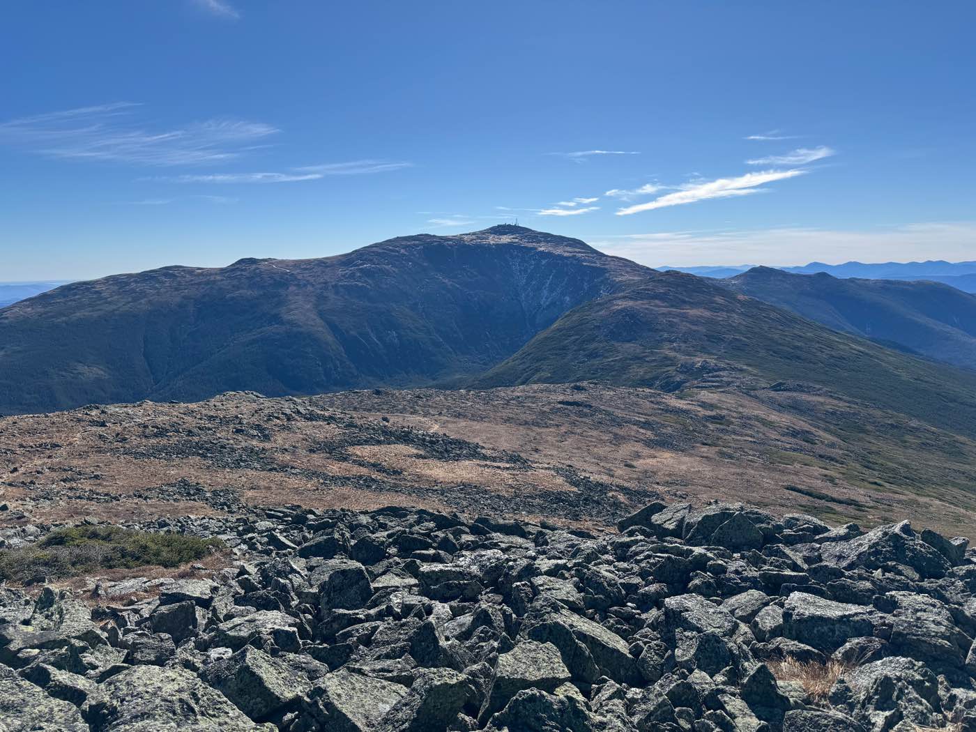
Mount Jefferson in October
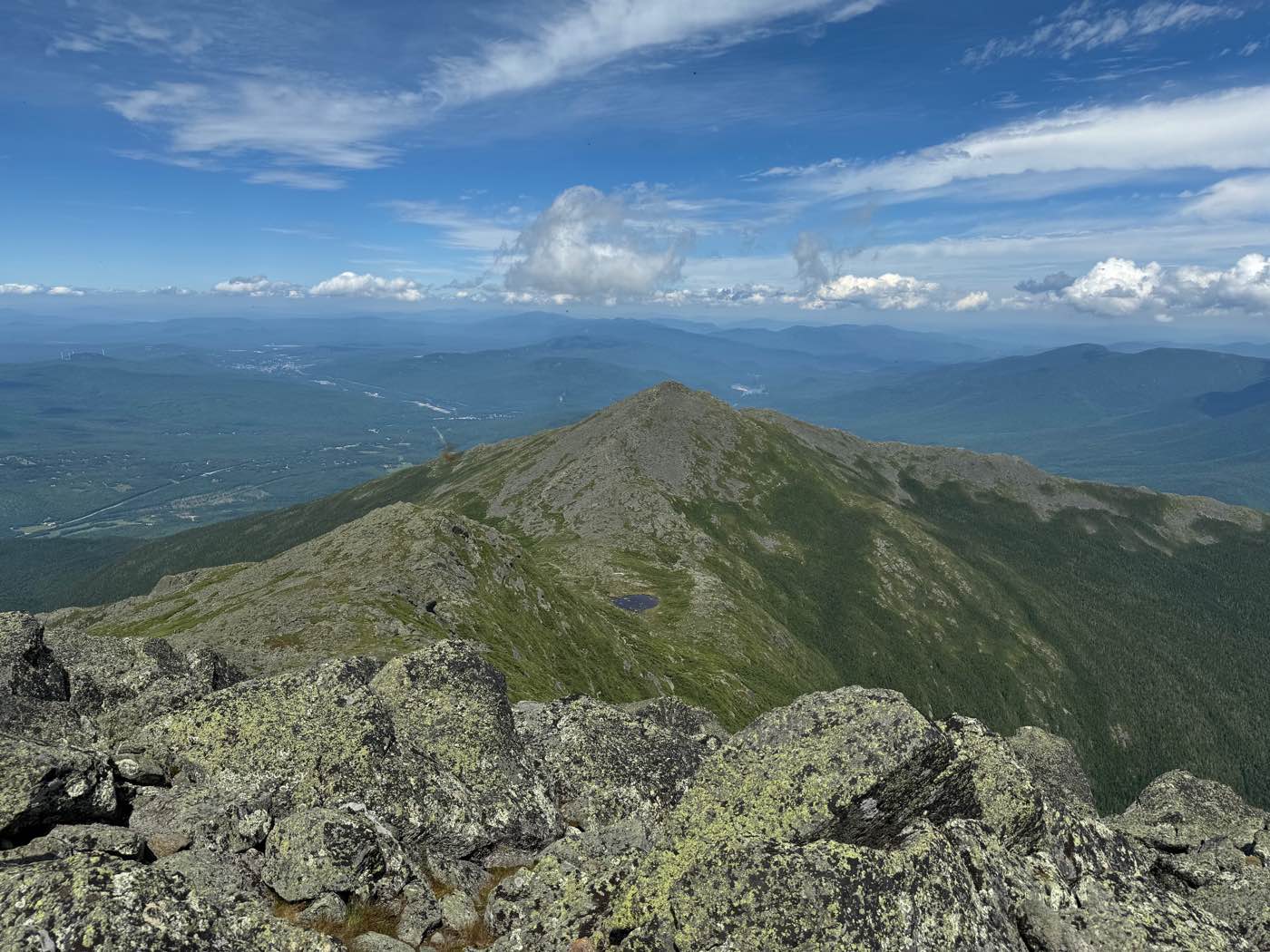
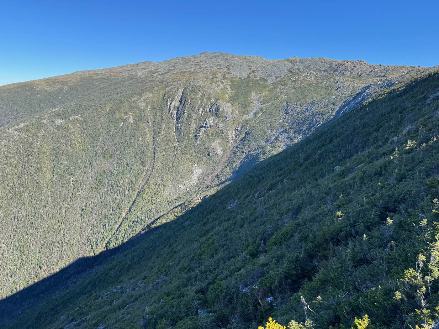
A clear late-October day on the third-highest mountain in New Hampshire. The alpine meadows had turned gold, and from the summit the view stretched south to Mount Washington.
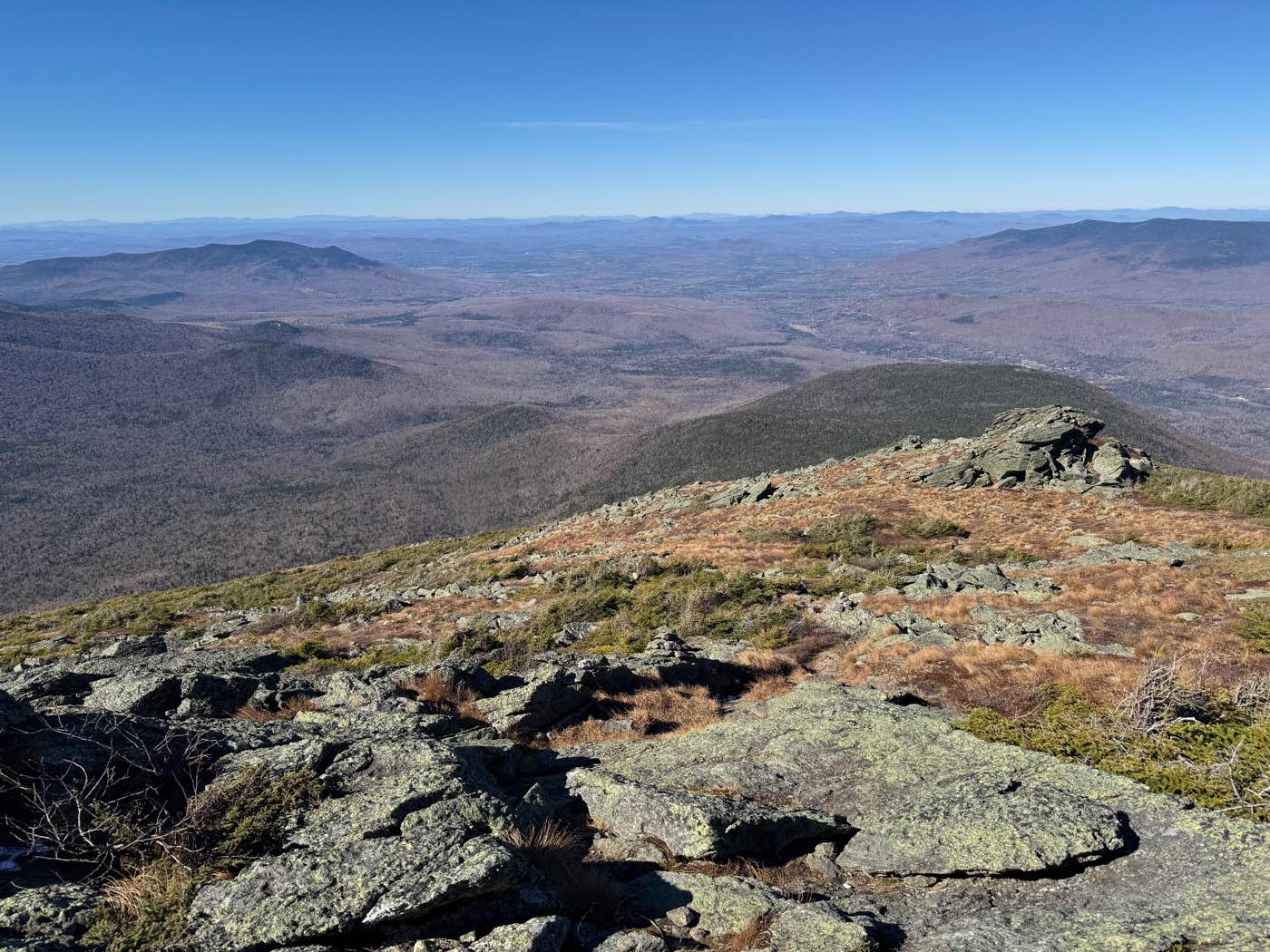
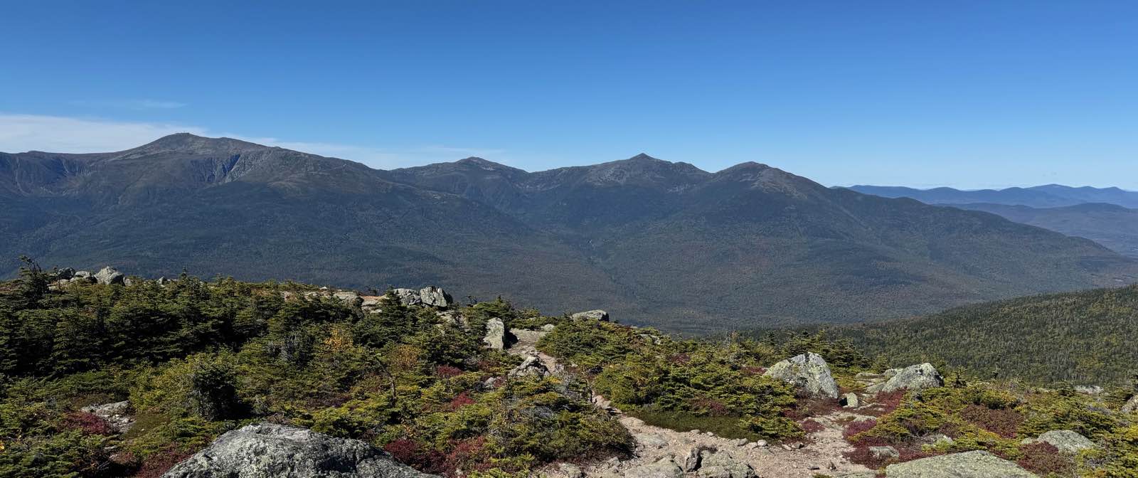
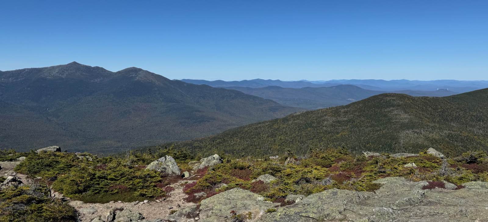
The whole range from Mount Hight
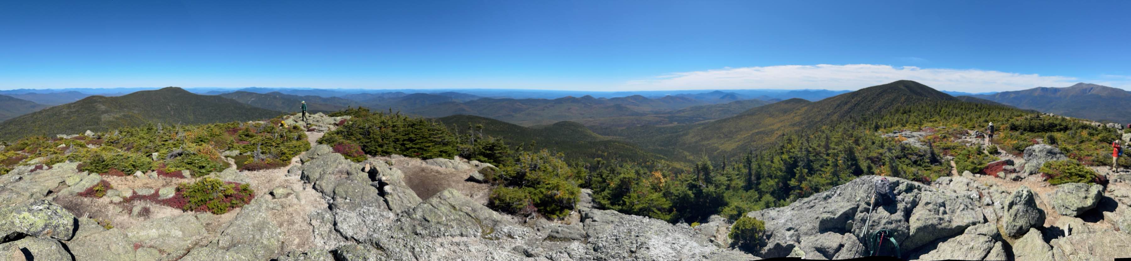
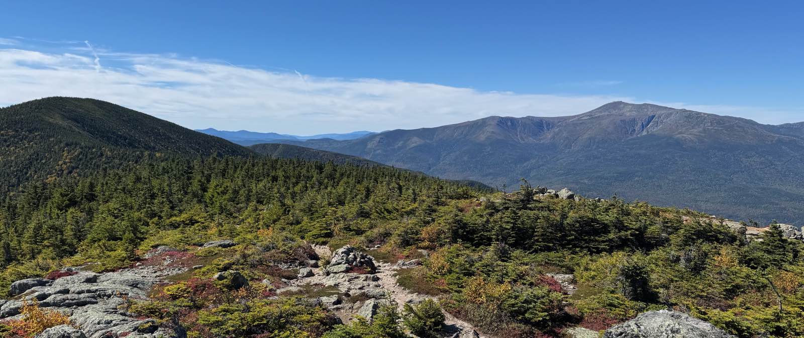
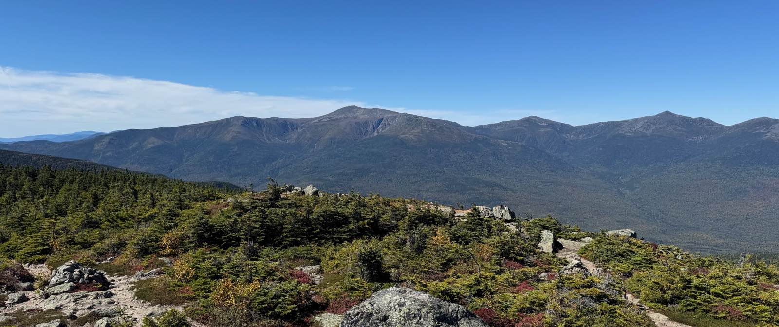
Mount Hight sits in the Carter Range, directly across Pinkham Notch from Mount Washington, and its open summit has one of the best views of the Presidentials anywhere. On a clear September day I turned slowly from southwest to northwest and took in the whole range, about six and a half miles away. The alpine shrubs around me were already turning red for the fall.
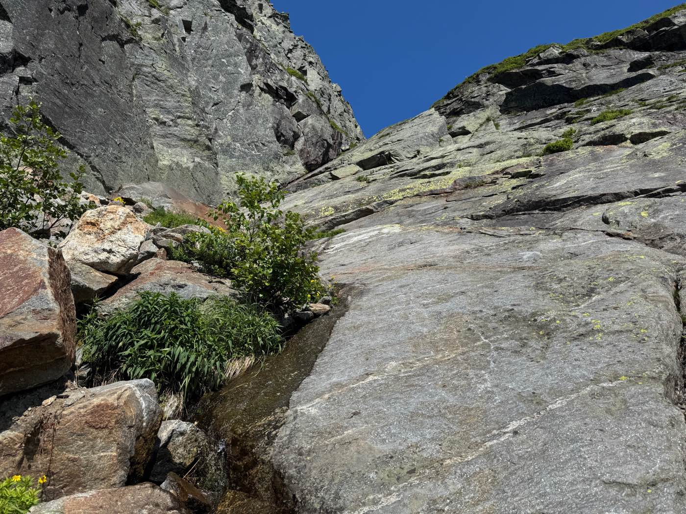
Huntington Ravine to the summit
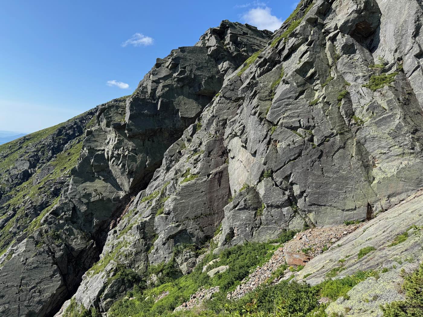
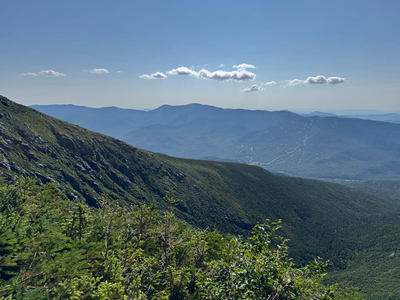
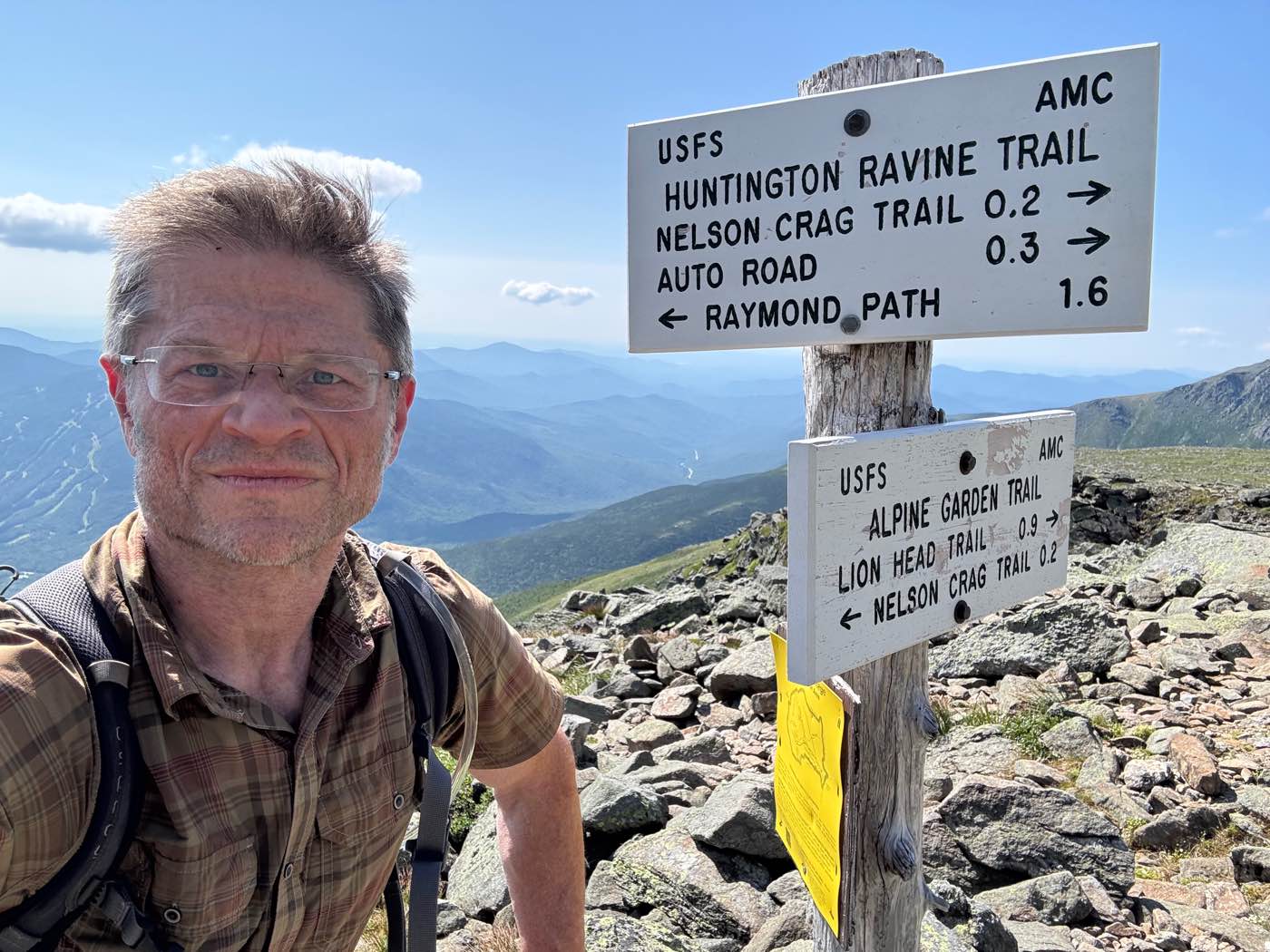
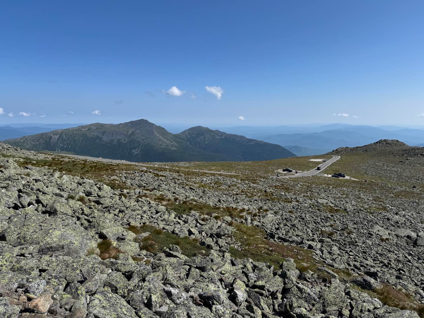
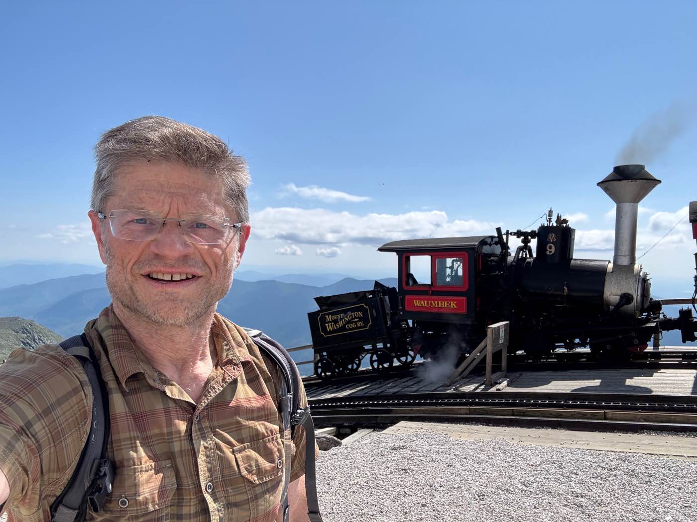
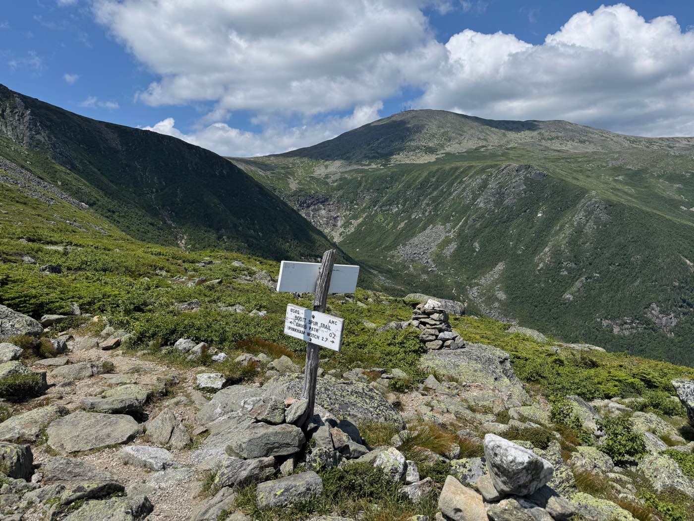
Up the Huntington Ravine Trail, often called the hardest hiking trail in the White Mountains, then across to the summit of Mount Washington and down past Boott Spur. I was on the floor of the ravine at 8:39 in the morning, climbing the headwall by 9:20, at the top of the trail at 9:52, and on the summit at 10:22.
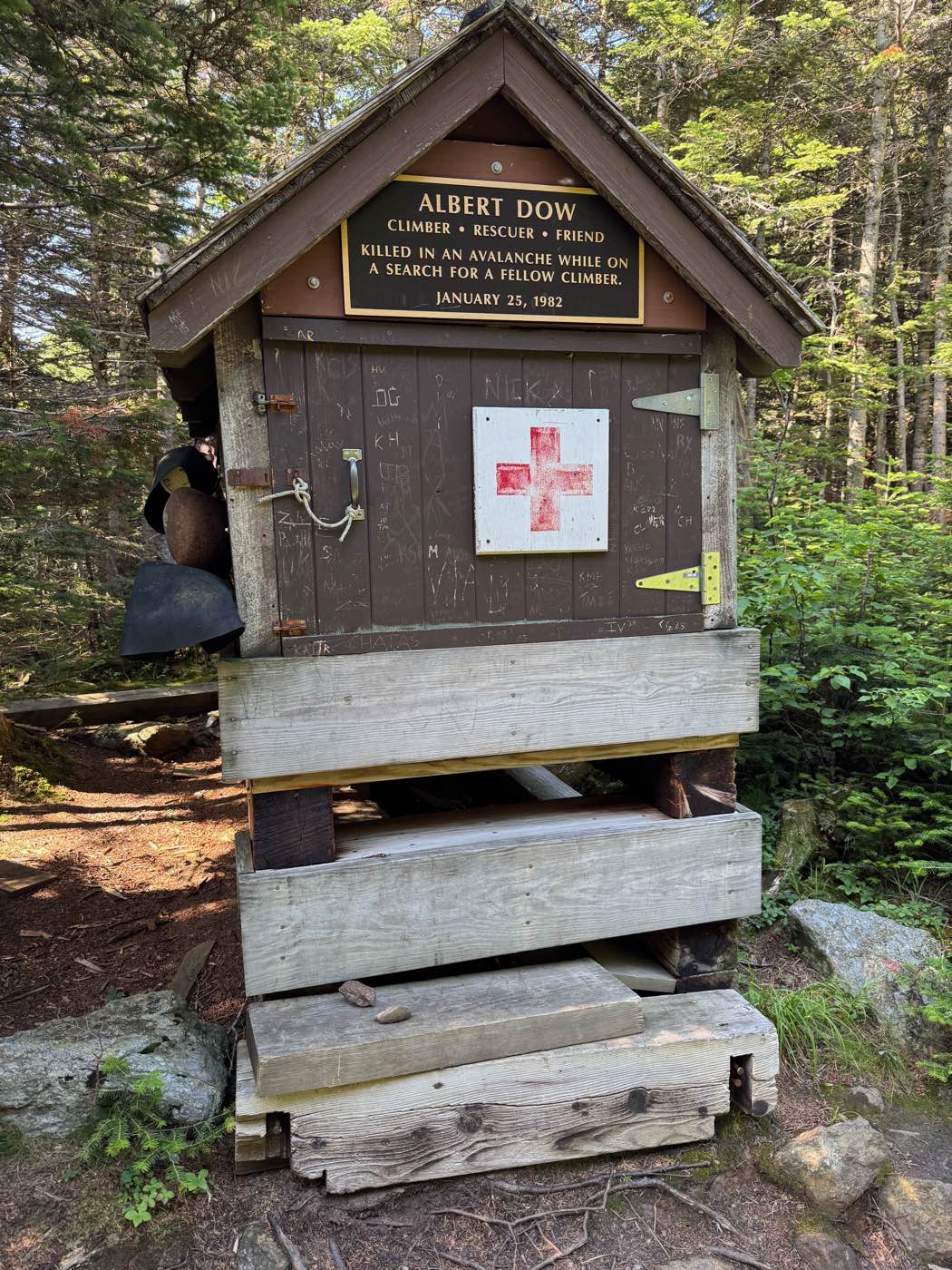
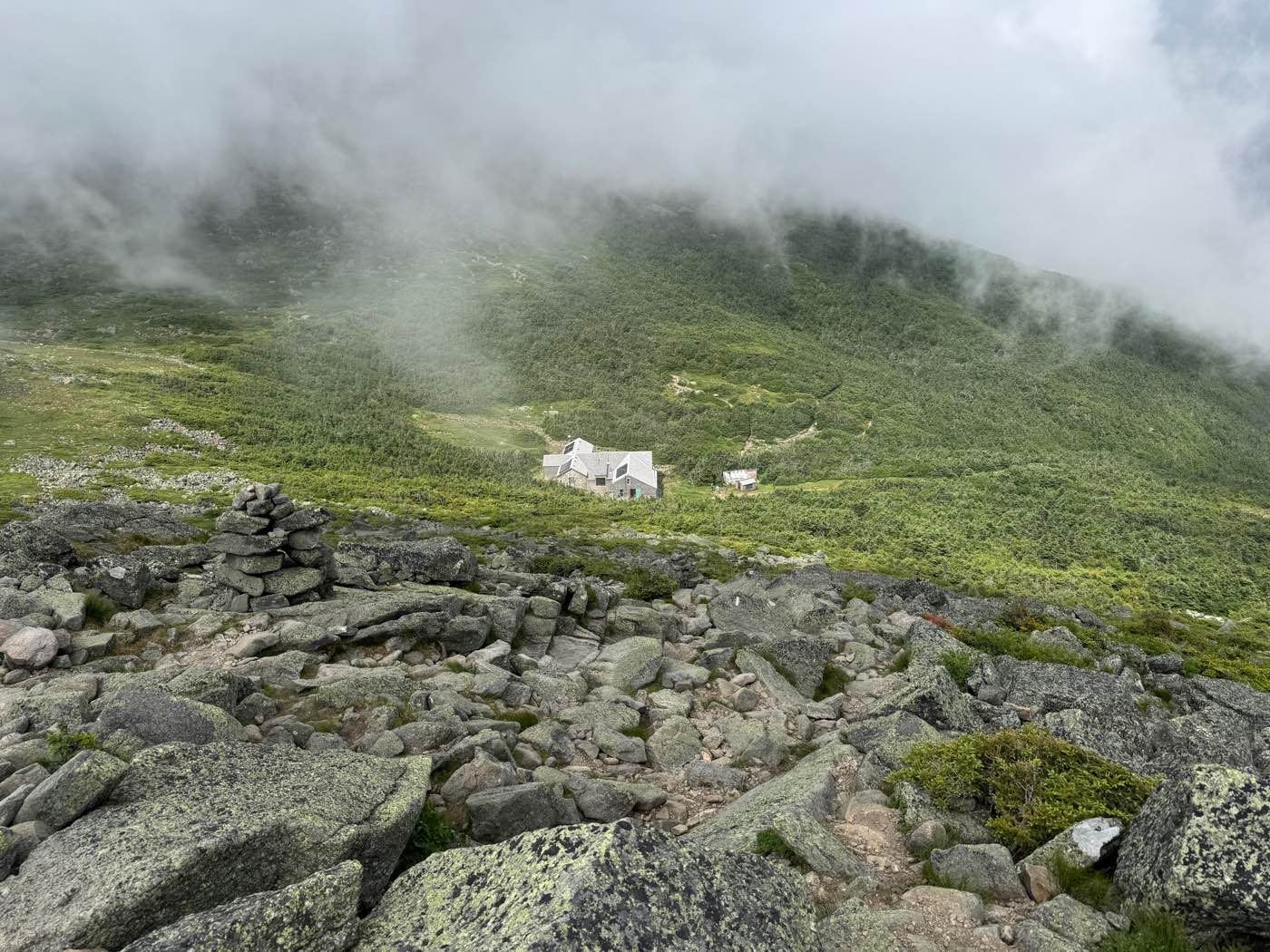
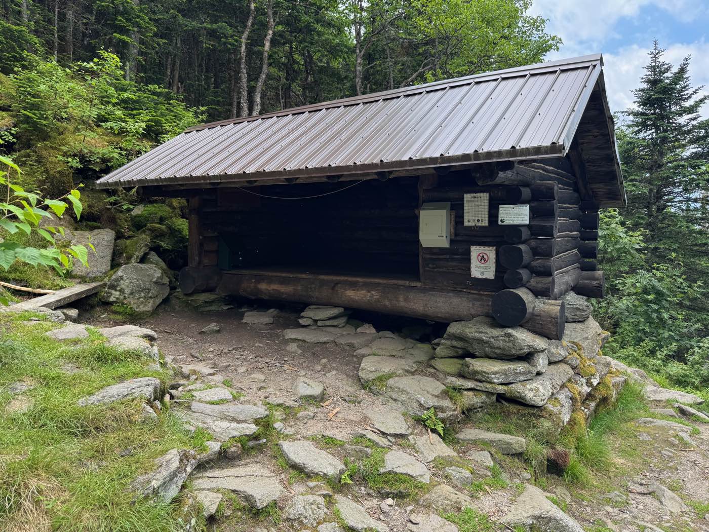
Madison Spring Hut and the Randolph Mountain Club cabins
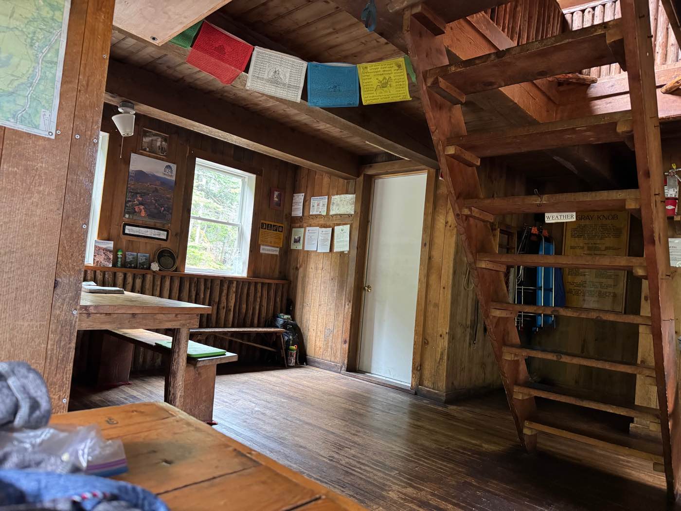
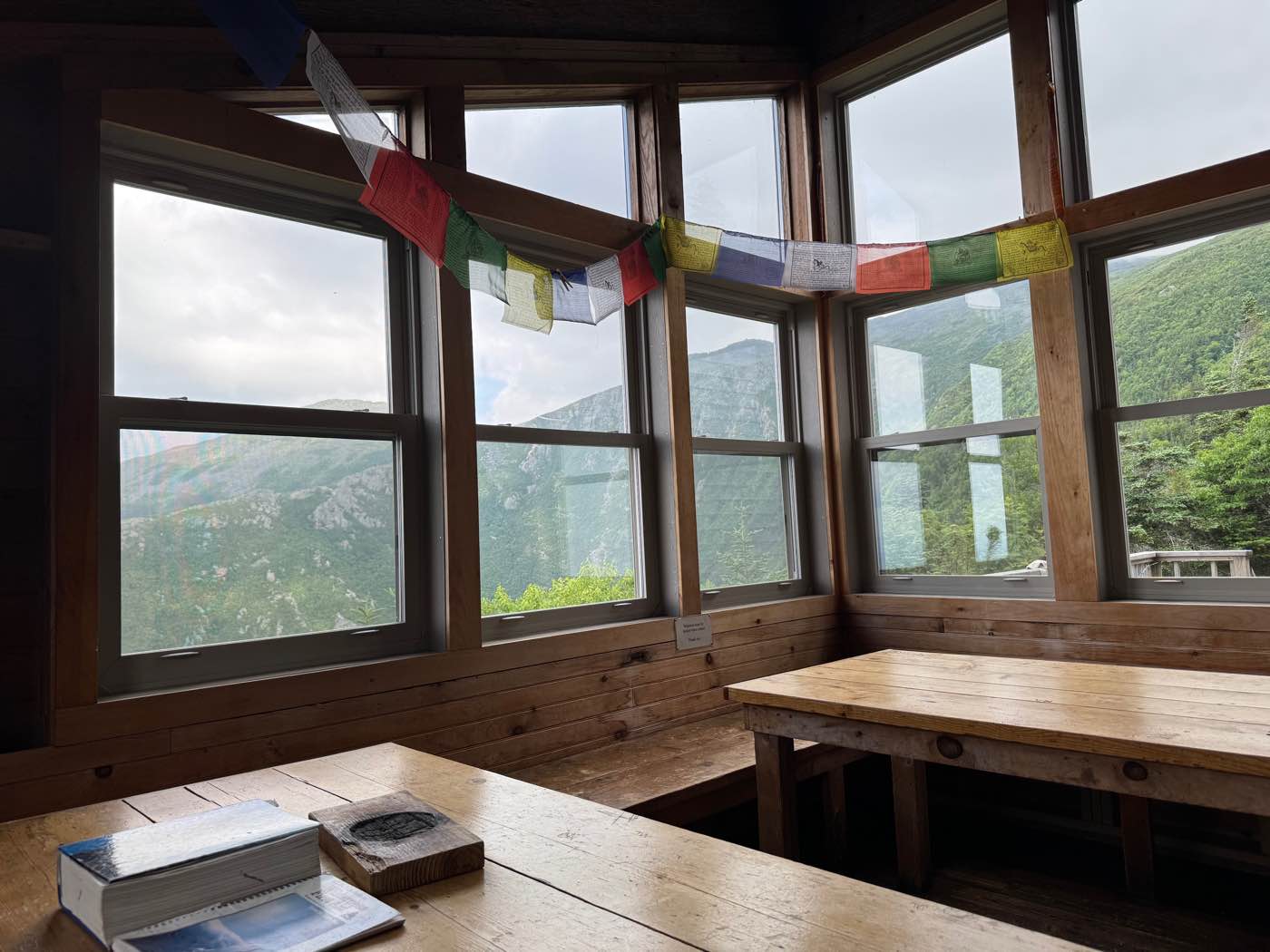
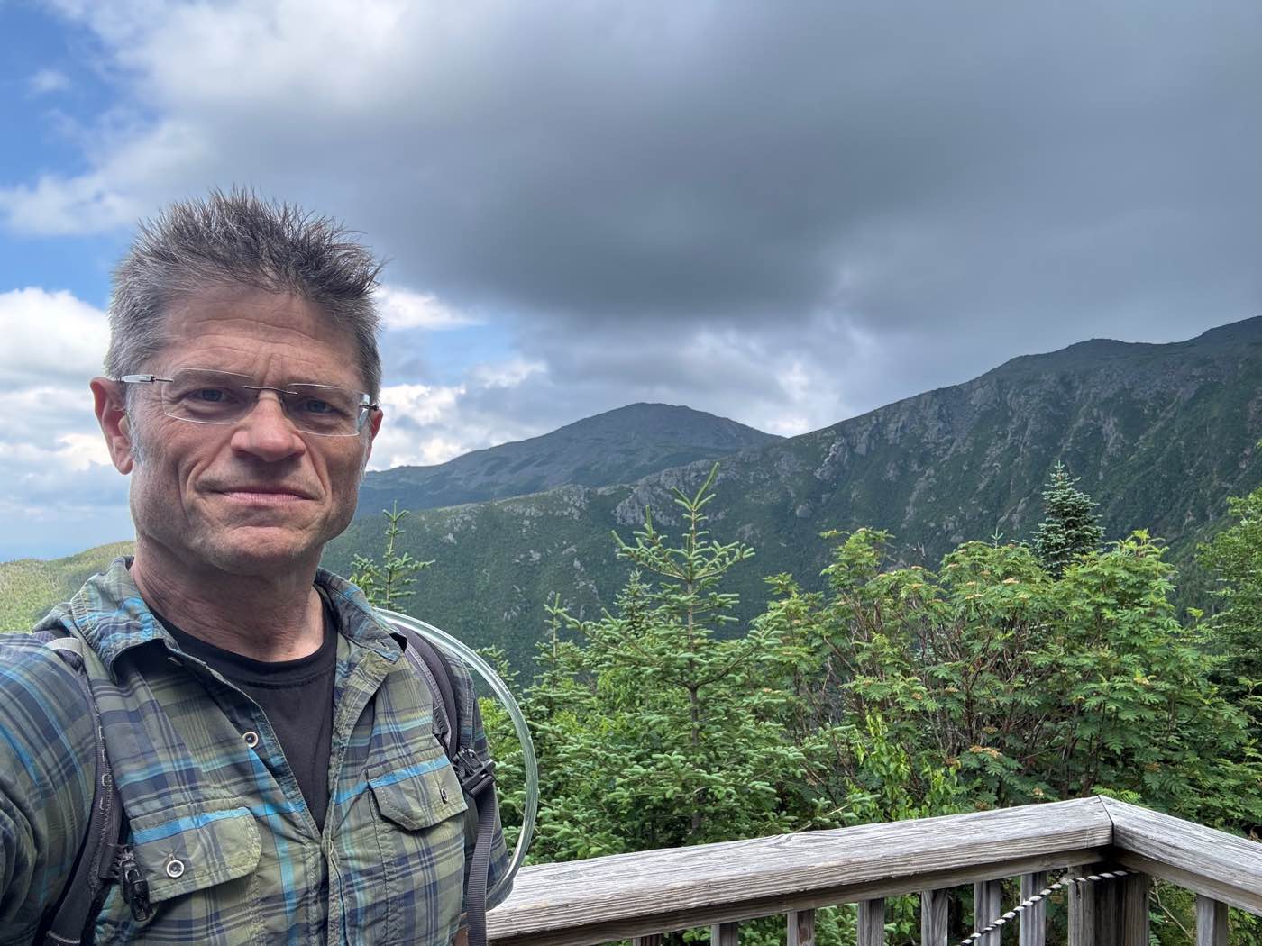
A day on the northern peaks, from Madison Spring Hut in the clouds to two of the Randolph Mountain Club's cabins on the north side of Mount Adams, Gray Knob and Crag Camp, and back down to Route 2.
King Ravine and the Subway
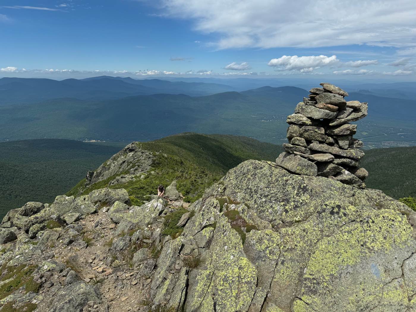
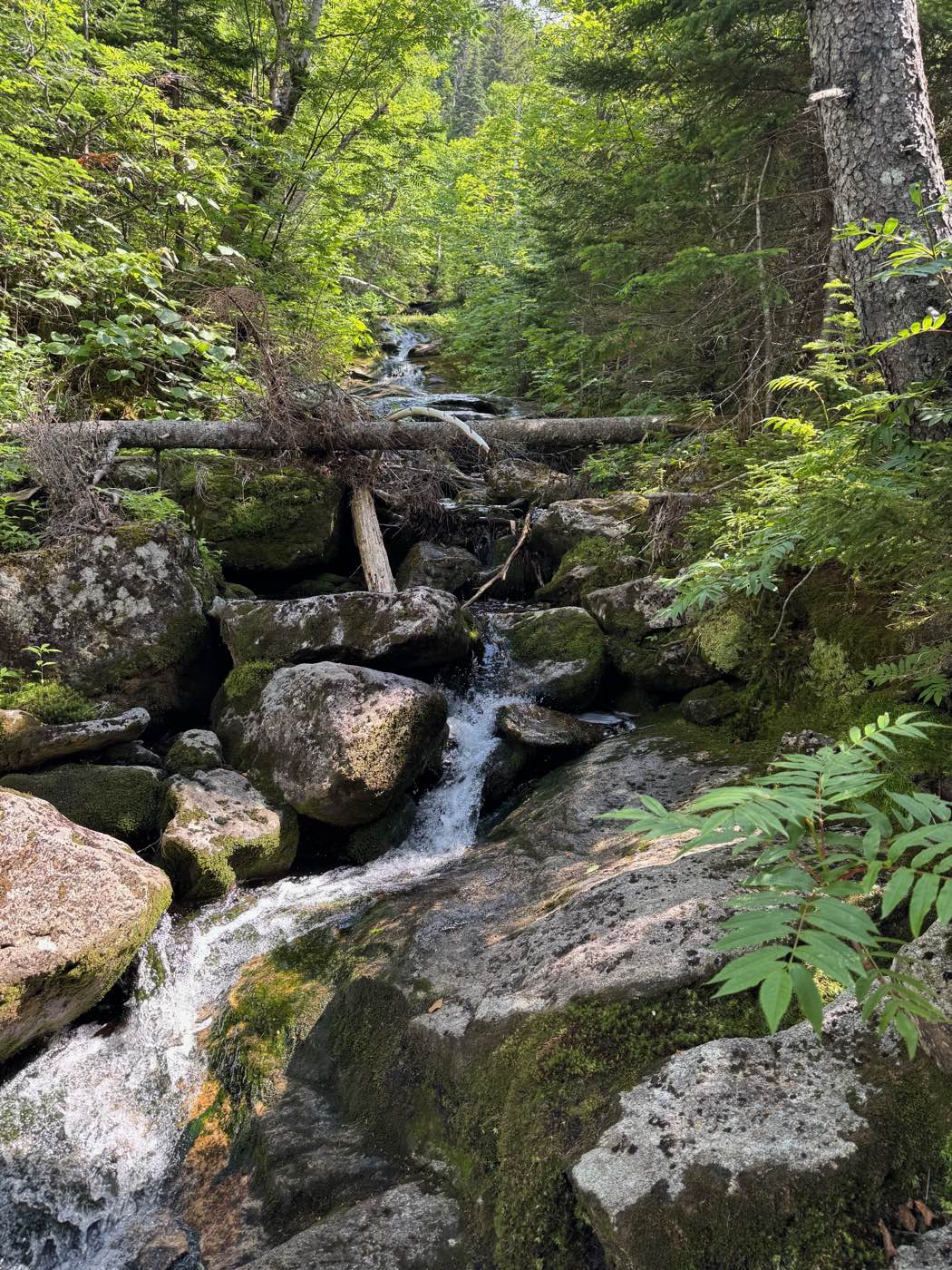
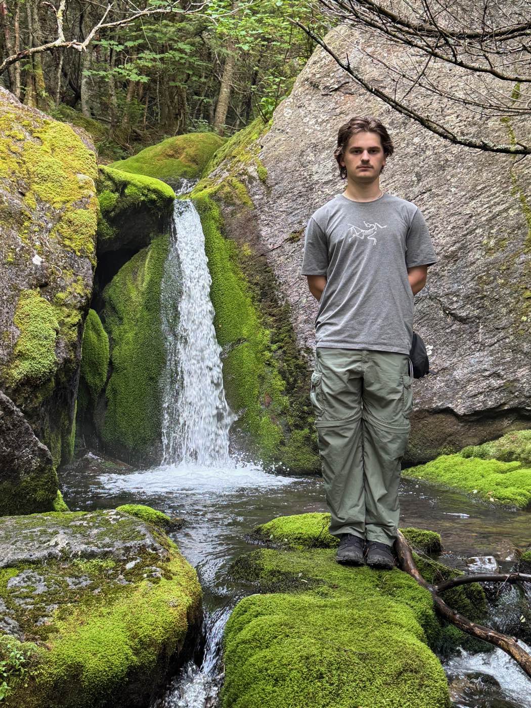
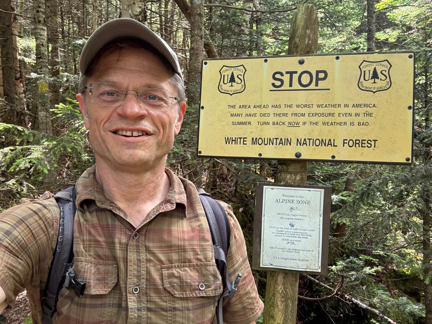
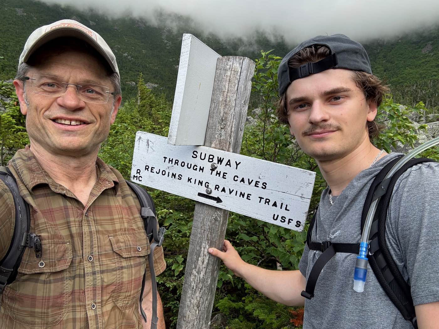
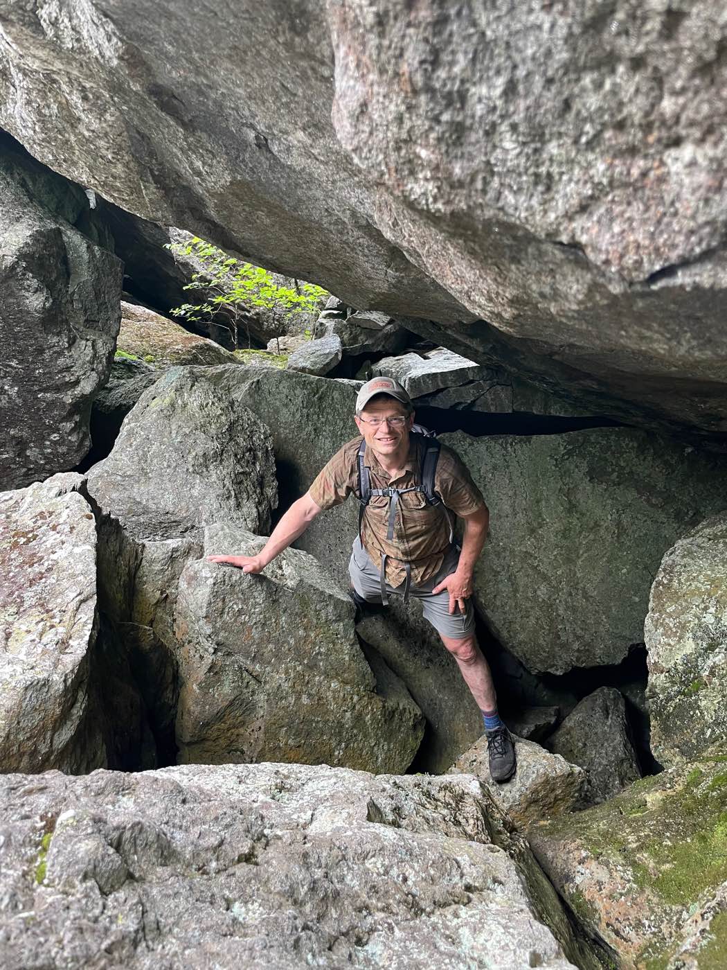
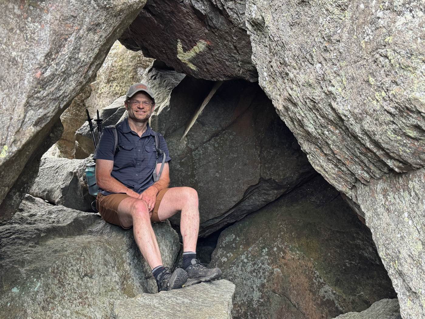
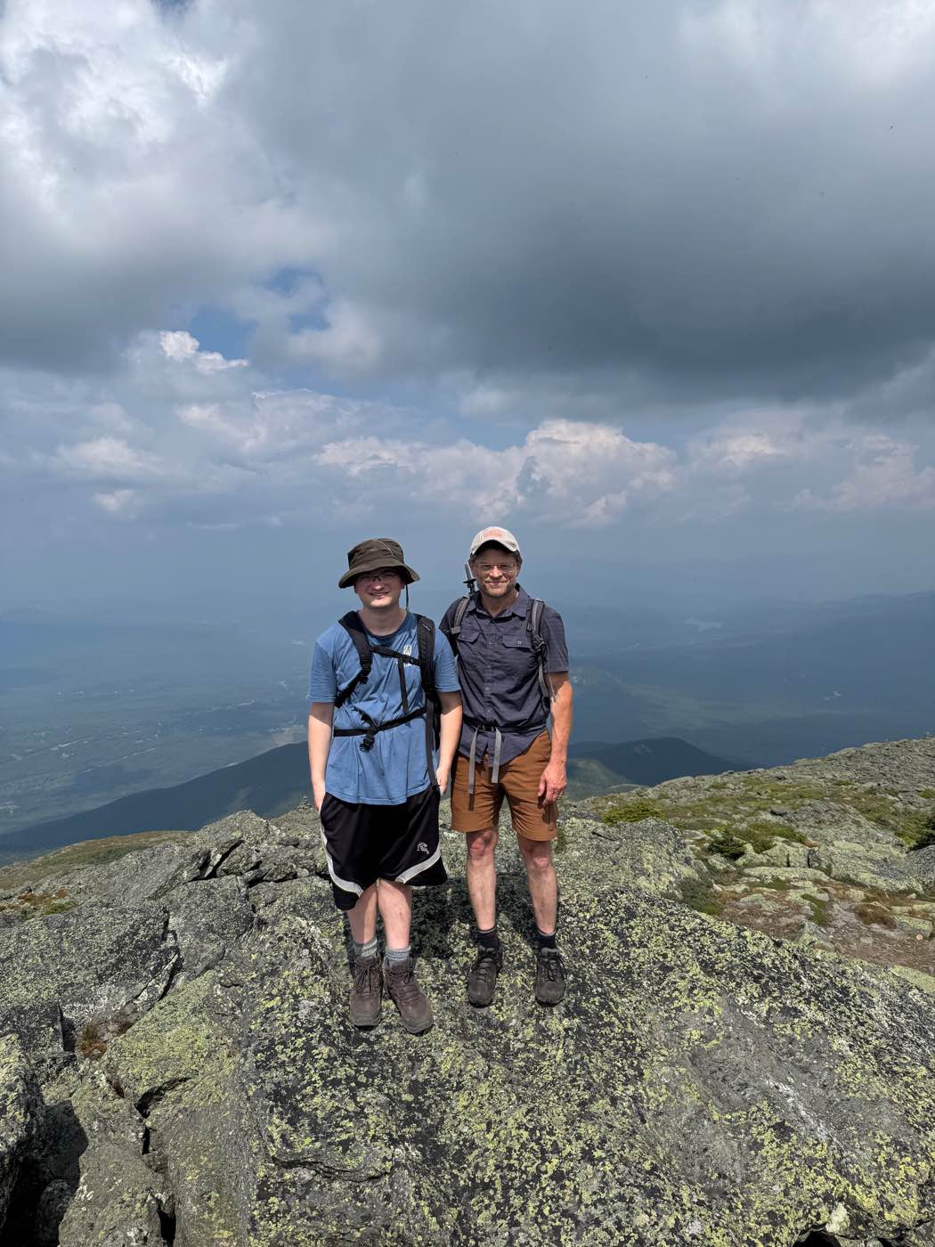
King Ravine, on the north side of Mount Adams, is a deep glacial cirque filled with giant boulders. A route called the Subway threads through the caves between them. I went in July with one of my sons and climbed on to the high ridge near the summit of Adams, then came back in August with my other son and went on to the summit of Mount Madison.
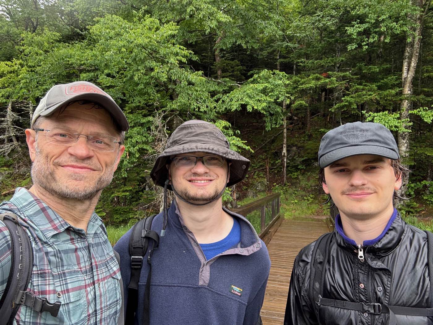
All three of us
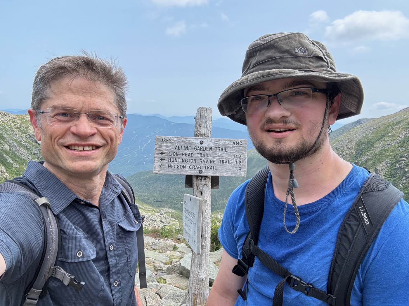
A day near Pinkham Notch with both of my sons.
Into Tuckerman Ravine
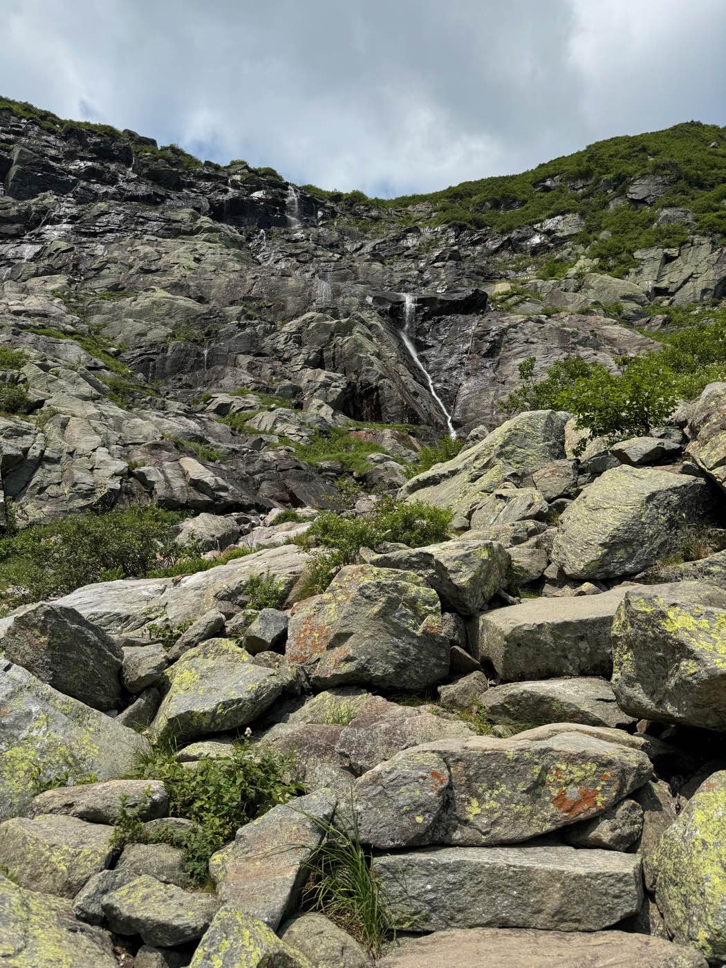
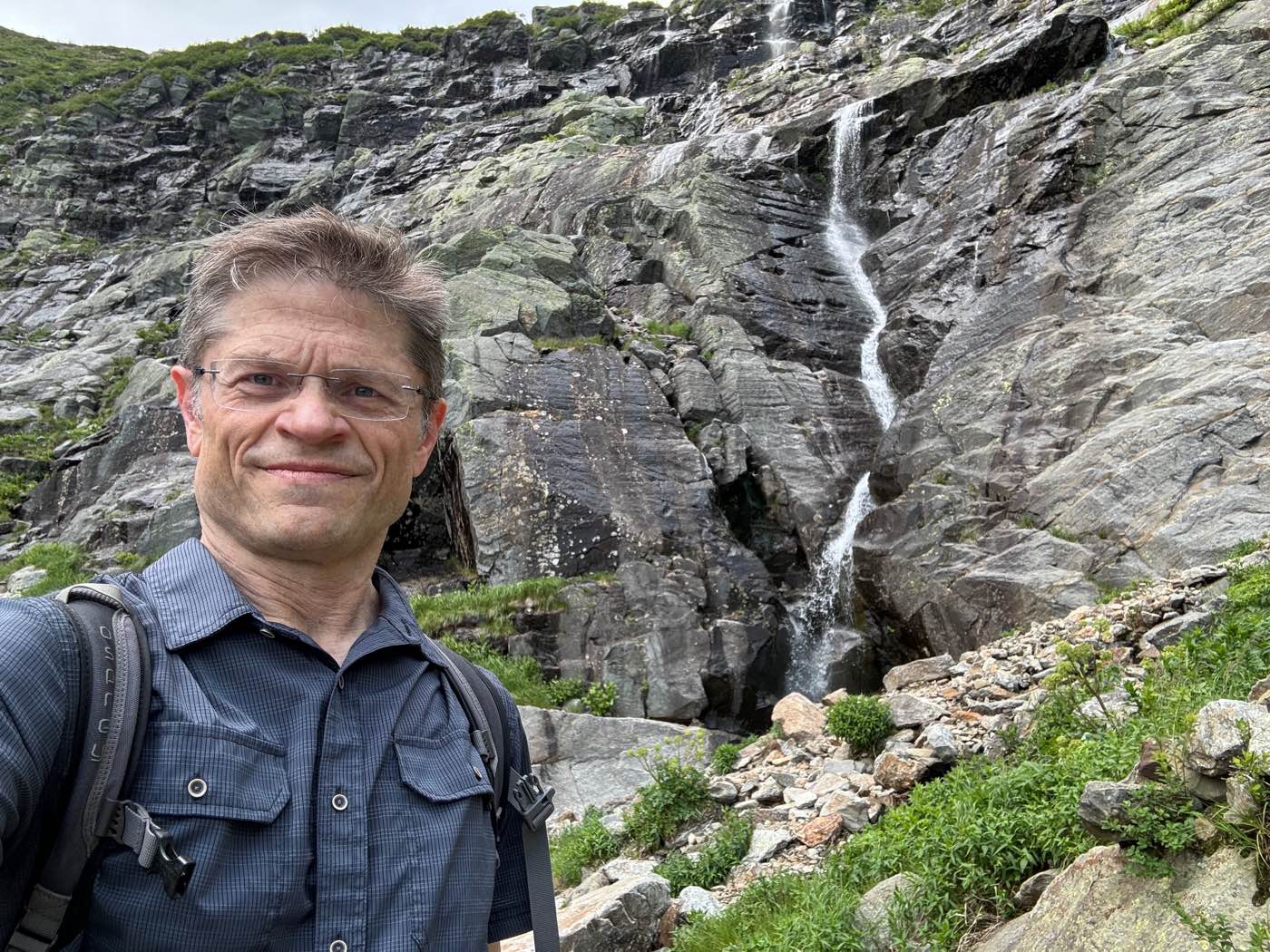
Up the Tuckerman Ravine Trail past Hermit Lake and into the great bowl of the ravine, then up the headwall above it.
Up to Mount Adams
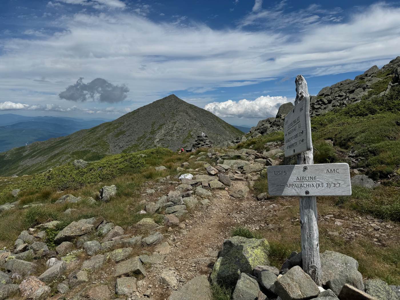
From the Appalachia trailhead on Route 2, up through the forest to Madison Spring Hut, then on to the summit of Mount Adams, the second-highest peak in the range. I was on top at 2:12 in the afternoon.