
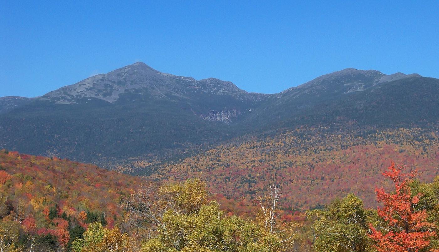
Every trail to the high peaks of the Presidential Range is a serious climb. Most gain 4,000 feet or more, and the last miles cross open, rocky ground above treeline, fully exposed to the weather.
Each trail below links to its page on AllTrails, which has maps, photos, and recent reports from other hikers. Distances and elevation gains are AllTrails' figures for the round trip. Different sources and GPS tracks give slightly different numbers, so treat them as estimates.
Mount Washington
| Route | Starts from | Round trip | What to know |
|---|---|---|---|
| Tuckerman Ravine Trail | Pinkham Notch (east) | About 8 mi, 4,200+ ft | The most popular route to the summit, climbing through a huge glacial cirque. Not for winter, and parts close in spring for snow and avalanche danger. |
| Lion Head Trail | Pinkham Notch (east) | About 7.9 mi, 4,200+ ft | An alternative to Tuckerman, with hands-on scrambling over ledges. The usual winter route on the east side. |
| Huntington Ravine Trail | Pinkham Notch (east) | About 8 mi, 4,200+ ft | Widely considered the hardest hiking trail in the White Mountains, with steep rock climbing. Avoid when wet, and not a winter hike. |
| Ammonoosuc Ravine Trail | Near the Cog Railway base (west) | About 9–10 mi as a loop | Steep and beautiful, past waterfalls to the Lakes of the Clouds Hut. Often paired with Mount Monroe. |
| Jewell Trail | Near the Cog Railway base (west) | Often combined with Ammonoosuc | A long, gradual ridge climb. Many hikers go up Ammonoosuc and come down the Jewell. Paid parking at the trailhead. |
| Crawford Path | Crawford Notch, across from the AMC Highland Center (southwest) | About 16.1 mi, 5,600+ ft | The oldest continuously maintained hiking trail in the U.S., opened in 1819. A long day, with miles of ridge walking above treeline. |
The northern peaks
| Route | Starts from | Round trip | What to know |
|---|---|---|---|
| Valley Way to Mount Madison | Appalachia trailhead, Route 2 (north) | Steep, sheltered climb | A popular year-round route to Madison Spring Hut and the summit of Madison. Mostly in the trees until near the hut. |
| Air Line to Mount Adams | Appalachia trailhead, Route 2 (north) | About 7.9 mi, 4,400+ ft | The standard winter route up Adams, along a ridge with big views. The last 1,000 feet are very exposed, over large boulders. |
| Madison and Adams loop | Appalachia trailhead, Route 2 (north) | About 9.2 mi, 4,900+ ft | Up the Valley Way, over both summits past Star Lake, and down the Air Line. A classic, demanding day. |
The southern peaks
The southern Presidentials are lower and more forgiving, and a good introduction to the range.
| Route | Starts from | What to know |
|---|---|---|
| Crawford Path and Mizpah Cutoff loop | Crawford Notch | A loop over Mount Pierce, passing Mizpah Spring Hut. One of the most popular hikes in the range. |
| Edmands Path to Mount Eisenhower | Mount Clinton Road | A well-graded trail to the bald dome of Eisenhower, with a 360-degree view. |
The Presidential Traverse
The ultimate Presidential Range hike crosses every major summit along the ridge, about 19 to 20 miles with more than 8,500 feet of climbing. Strong, experienced hikers do it in a single long summer day, usually north to south. Others take two or three days and stay at the AMC huts along the way. In winter, it takes two to four days and is a serious mountaineering trip.
See the mile-by-mile elevation profile on our Traverse page, or the Presidential Traverse on AllTrails for one popular version of the route.

Staying safe above treeline
- Check the forecast. Read the Higher Summits Forecast and current summit conditions from the Mount Washington Observatory on the morning of your hike. The summit is often much colder and far windier than the trailhead.
- Be ready to turn back. If the weather turns or you're falling behind schedule, head down. The mountain will be there another day.
- Pack for winter, even in summer. Bring warm layers, a hat and gloves, rain gear, a map, a headlamp, food, and plenty of water.
- Watch for avalanches. In winter and spring, check the Mount Washington Avalanche Center before going near Tuckerman or Huntington ravines.
- Stay on the trail. Alpine plants are fragile and grow slowly. Cairns and paint blazes mark the routes above treeline.
- Consider a hikeSafe card. New Hampshire's hikeSafe program, run by the White Mountain National Forest and NH Fish and Game, sells a voluntary yearly card. It can protect you from being billed for rescue costs, with some exceptions.
- Know your daylight. Days are short in fall and winter, and many rescues start with hikers caught out after dark. Carry a headlamp and set a turnaround time.
- Watch the water. Streams can rise quickly after heavy rain or during snowmelt, making crossings dangerous. The river gauge below gives a quick sense of whether the rivers are running high.
Daylight on the summit today
. Plan to be off the exposed ridges well before dark.
- First light
- —
- Sunrise
- —
- Sunset
- —
- Last light
- —
- Daylight
- —
Calculated for the summit of Mount Washington, Eastern time. "First light" and "last light" are civil twilight, when there's enough light to hike without a headlamp.
Peabody River at Gorham, right now
The Peabody River collects the streams draining the northeast side of the range, including the Great Gulf and Pinkham Notch.
- Flow
- —
- Water level
- —
- Last 24 hours
- —
Loading the latest reading…
This site is for general interest. Trails, closures, and conditions change, so check official sources such as the White Mountain National Forest and the Appalachian Mountain Club before you go.